 LiveServices


- img: https://pics.landcover100.com/pics/image/wms3.png
link: http://trac.osgeo.org/openlayers/wiki/AvailableWMSServices
name: Available WMS Services (needs to be parsed) from OSGeo
desc: (needs to be parsed)
author: Login Required?No
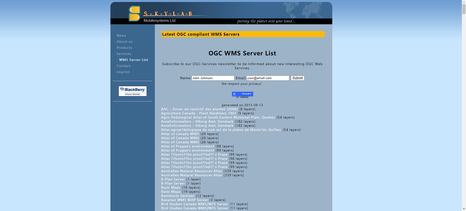
- img: https://pics.landcover100.com/pics/image/wms4.png
link: http://www.skylab-mobilesystems.com/en/wms_serverlist.html
name: Available WMS Services (needs to be parsed) from Skylab
desc: (needs to be parsed)
author: Login Required?No
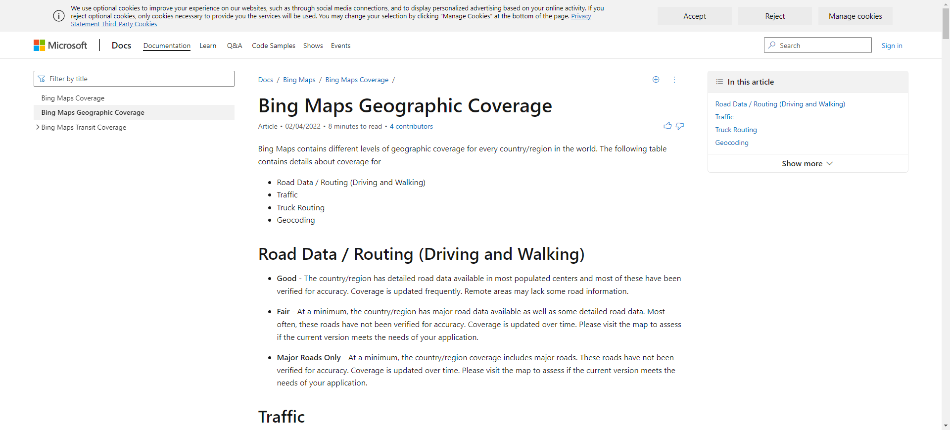
- img: https://pics.landcover100.com/pics/image/wms6.png
link: http://msdn.microsoft.com/en-us/library/dd435699.aspx
name: Bing Features by Country (Table)
desc: Description of Bing services by country (basic or advanced routing, geoc
author: Login Required?No
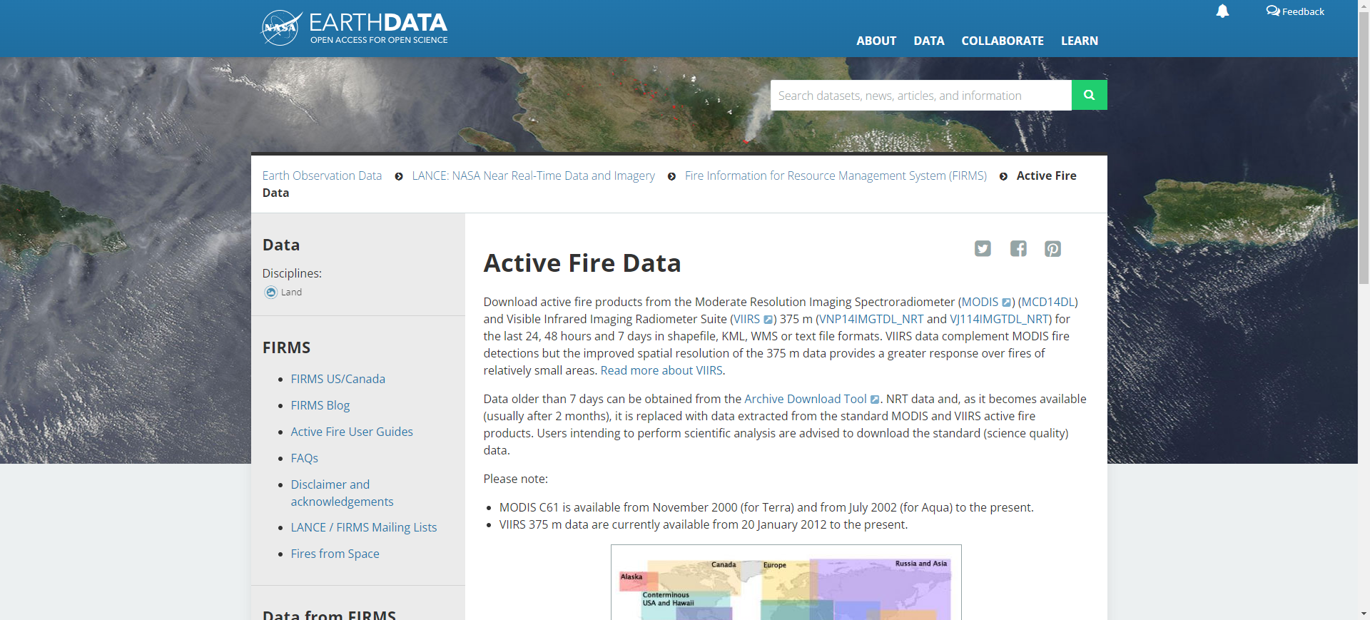
- img: https://pics.landcover100.com/pics/image/wms9.png
link: http://earthdata.nasa.gov/data/nrt-data/firms/active-fire-data
name: FIRMS KML/WMS active fire data
desc: Global fire hotspots
author: Login Required?No
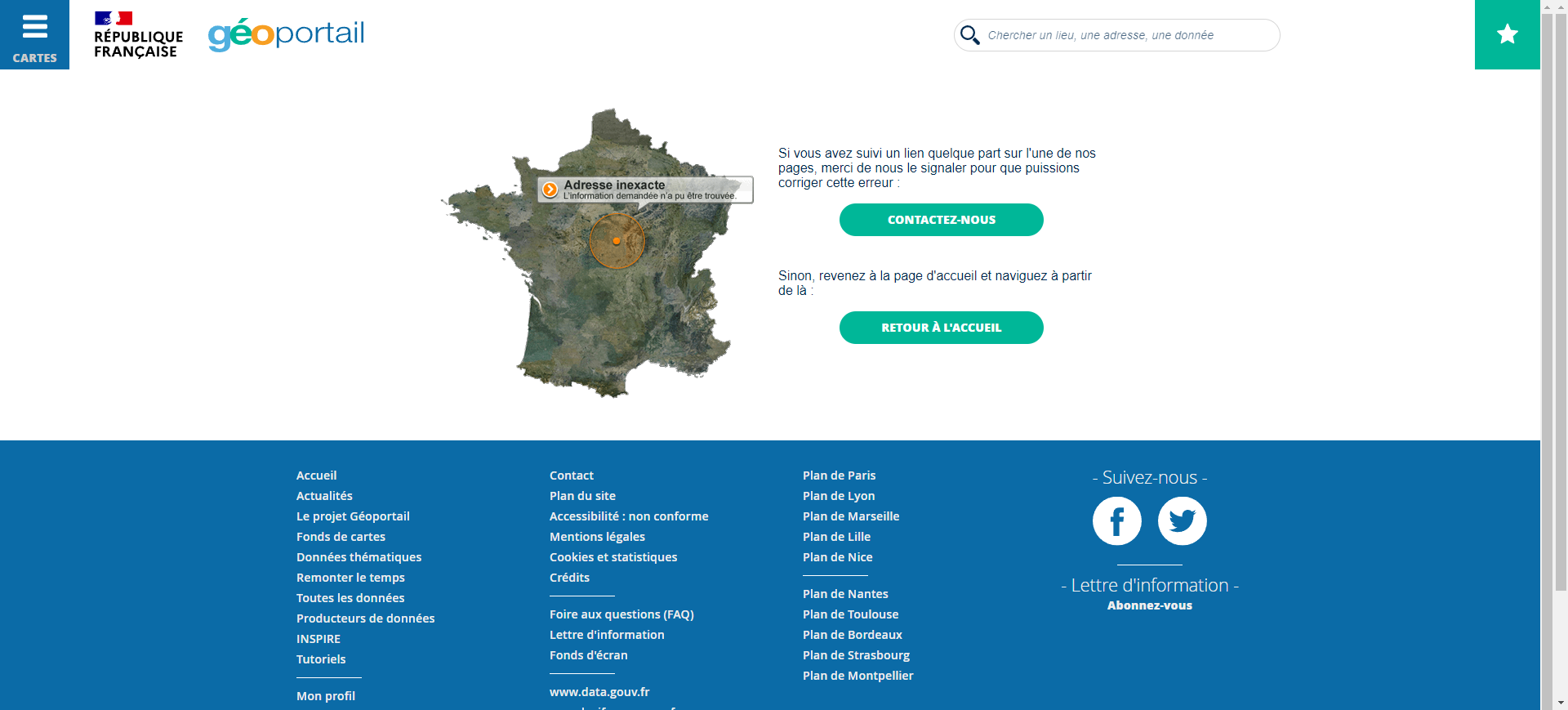
- img: https://pics.landcover100.com/pics/image/wms10.png
link: http://www.geoportail.fr/5061750/visu2D/voir.htm
name: French Geoportail
desc: France, WMS Service only (no download); includes territories (Guyana, Ma
author: Login Required?No
- img: https://pics.landcover100.com/pics/image/wms18.png
link: http://www.land.eu/portal/
name: GMES Land Monitoring Portal
desc: Link Currently Not Working (July 2012)
author: Login Required?No
- img: https://pics.landcover100.com/pics/image/wms21.png
link: http://mapmaker.google.com/datadownload
name: Google Map Maker Data Download
desc: Available coverages spotty; may be subject to licensing
author: Login Required?No
- img: https://pics.landcover100.com/pics/image/wms25.png
link: http://inspire-geoportal.ec.europa.eu/
name: Infrastructure for Spatial Information in the European Community (INSPIR
desc: discovery and view services only
author: Login Required?No
- img: https://pics.landcover100.com/pics/image/wms27.png
link: http://effis.jrc.ec.europa.eu/
name: JRC European Forest Fire Information System
desc: Two viewers - one for current conditions and one for historical data wit
author: Login Required?No
- img: https://pics.landcover100.com/pics/image/wms28.png
link: http://www.kartenwerkstatt.at/
name: kartenwerkstatt.at/
desc: This is a set of map services, viewable in a browser
author: Login Required?No
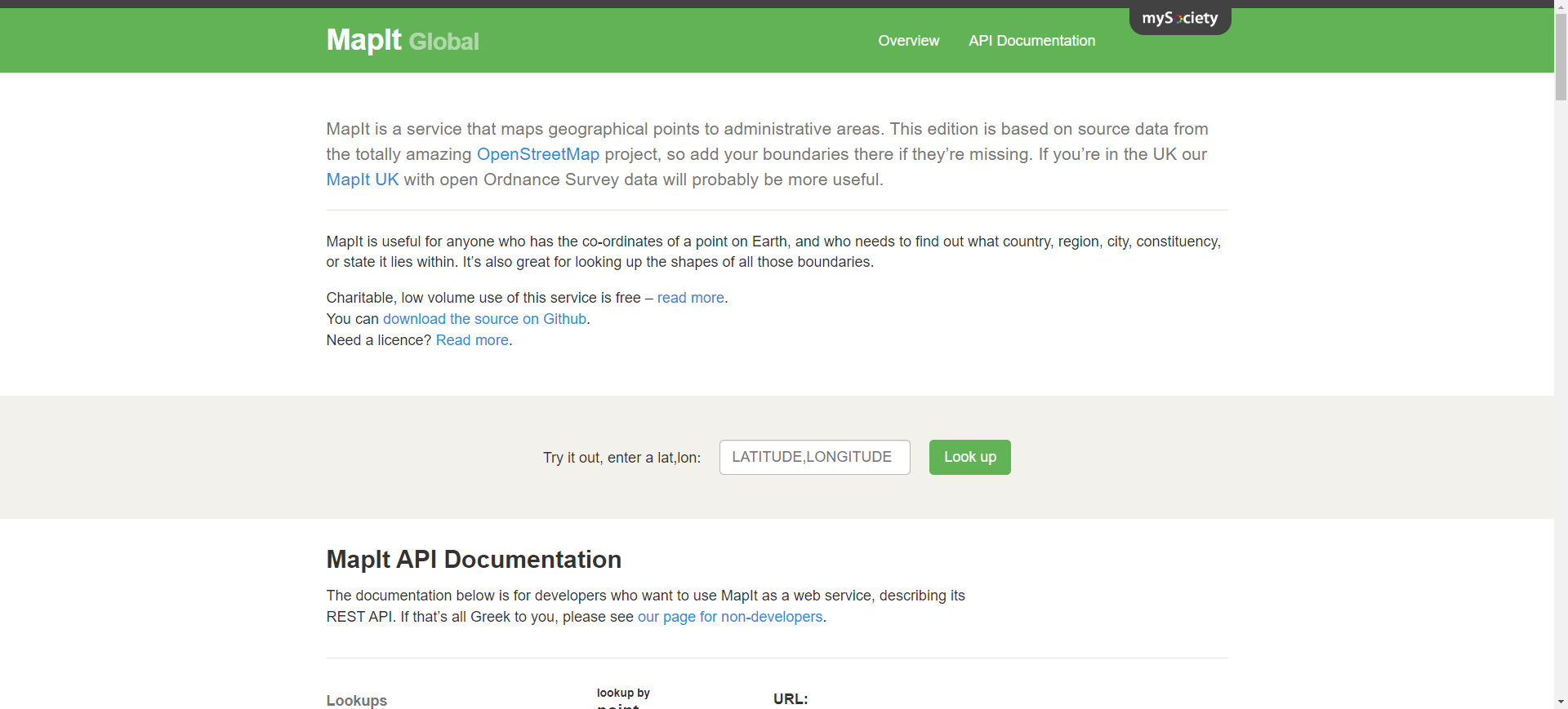
- img: https://pics.landcover100.com/pics/image/wms31.png
link: http://global.mapit.mysociety.org/
name: MapIt Global
desc: Service that maps geographical points to administrative areas based on o
author: Login Required?No
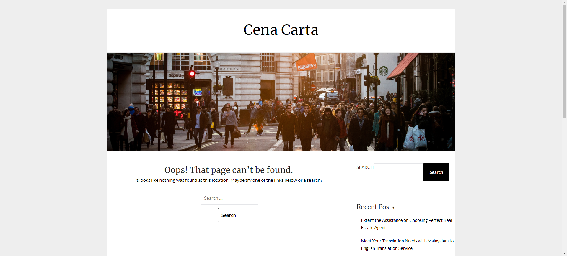
- img: https://pics.landcover100.com/pics/image/wms34.png
link: http://www.cenacarta.com/pmapper/
name: Mozambique WebMapper (Centro Nacional de Cartografia e Teledetec
- img: https://pics.landcover100.com/pics/image/wms35.png
link: http://earthdata.nasa.gov/data/nrt-data/airs-wms
name: NASA Atmospheric Infrared Sounder Near Realtime Imagery
desc: WMS or WCS - includes False-color image using 3 visible channles
author: Login Required?Yes
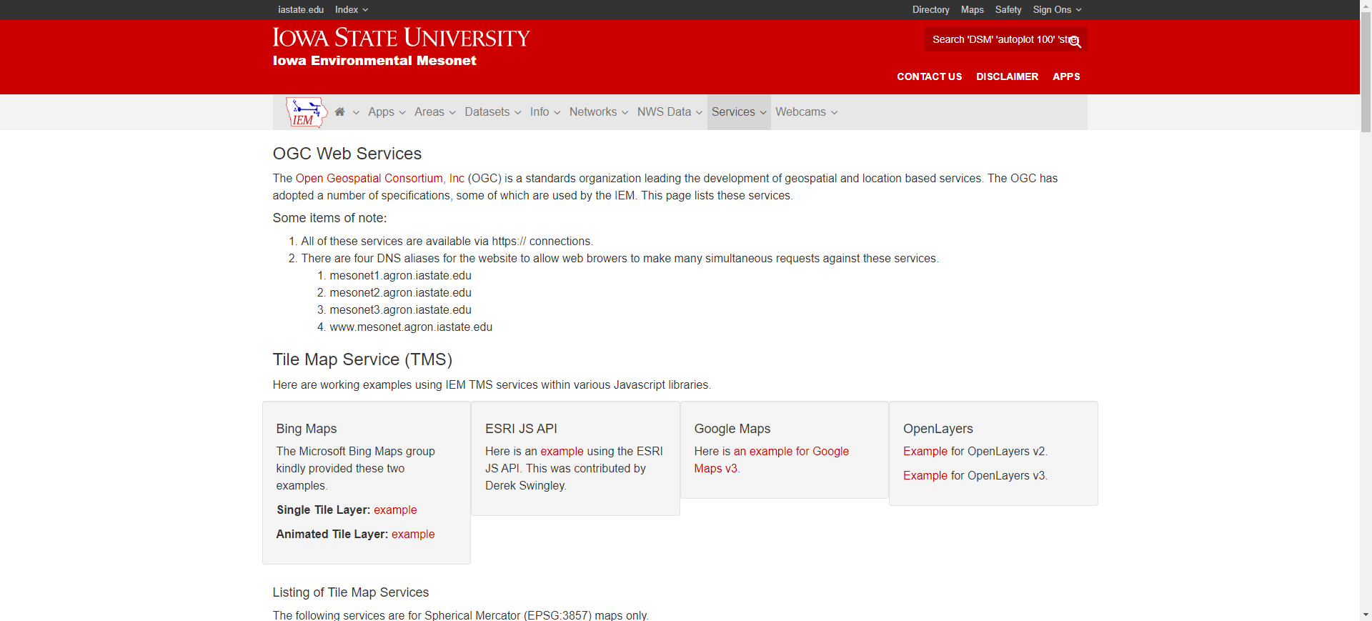
- img: https://pics.landcover100.com/pics/image/wms44.png
link: http://mesonet.agron.iastate.edu/ogc/
name: OGC Web Services list maintained Iowa State University Department of Agr
desc: (needs to be parsed) - us weather only?
author: Login Required?No
- img: https://pics.landcover100.com/pics/image/wms50.png
link: http://www.refractions.net/expertise/whitepapers/ogcsurvey/ogcsurvey/
name: Refractions Research OGC Services Survey
desc: Uses google api to document
- img: https://pics.landcover100.com/pics/image/wms59.png
link: http://registry.fgdc.gov/statuschecker/reportResults.php?catalog=gos&ser
name: WMS list with status checker from FGDC - US focused
desc: (needs to be parsed)
author: Login Required?No
导航表格 有一些网站是没有加载出来的,就没有做成贴片。更详细的信息见下表:
| Name | Web Address | Login Required? | Notes |
|---|---|---|---|
| ArcGIS Server mapservices that support WMS can be located using an appropriately worded google search | eg "View+footprint+in+Supported+Interfaces+wms" | No | generated more targeted searches |
| Available WMS Services (needs to be parsed) from OneGeology | http://portal.onegeology.org/statusView.jsp | No | Geology focus but also has dems and may link to other services (needs to be parsed) |
| Available WMS Services (needs to be parsed) from OSGeo | http://trac.osgeo.org/openlayers/wiki/AvailableWMSServices | No | (needs to be parsed) |
| Available WMS Services (needs to be parsed) from Skylab | http://www.skylab-mobilesystems.com/en/wms_serverlist.html | No | (needs to be parsed) |
| Bahrain Locator Service | http://www.bahrainlocator.gov.bh/ | No | |
| Bing Features by Country (Table) | http://msdn.microsoft.com/en-us/library/dd435699.aspx | No | Description of Bing services by country (basic or advanced routing, geocoding accuracy, and level of street detail) |
| CrowdMap | https://crowdmap.com/mhi | Yes | Allows you to set up Ushahidi deployments on remote server; can search for deployments |
| Earthquake Data Portal Web Services | http://www.seismicportal.eu/jetspeed/portal/web-services.psml | No | OGC and event information as soap/rest |
| FIRMS KML/WMS active fire data | http://earthdata.nasa.gov/data/nrt-data/firms/active-fire-data | No | Global fire hotspots |
| French Geoportail | http://www.geoportail.fr/5061750/visu2D/voir.htm | No | France, WMS Service only (no download); includes territories (Guyana, Martinque, Wallis etc.) |
| Geoconnections Discovery Portal (Government of Canada) | http://geodiscover.cgdi.ca/web/guest/home | No | Search catalogue by resource type, location or theme; portal in French or English |
| GEOnet Names Server (GNS) Services | http://earth-info.nga.mil/gns/html/gns_services.html | No | OGC services |
| Geopole.org (opens new window) | http://geopole.org/about | No | List of services |
| GeoPortal.Bund | http://ims1.bkg.bund.de/navigator/?ACTION_LAYER_DISPLAY=process&MAP_NAME=map_one | No | Germany, WMS Service only (no download) |
| GeoPortal.Bund - Bereitstellung NGDB | http://ims1.bkg.bund.de/navig/?ACTION_LAYER_DISPLAY=process&MAP_NAME=map_one | No | Germany. WMS Service only (no download) |
| GEOSS (Group on Earth Observations) Registry System | http://geossregistries.info/holdings.htm | No | Registry of live data services |
| GeoWeb Instituto Geografico Militar de Chile/Military Geographic Institute of Chile | http://200.54.77.213/IGM/ | No | You can upload shapefiles from your computer to overlay on their data (click on "Desplagar shapfiles") and sketch shapes ("Dibujar y Medir"). Basemaps available for purchase at http://www.igm.cl/ ("Productos/Mapas") |
| GMES Land Monitoring Portal | http://www.land.eu/portal/ | No | Link Currently Not Working (July 2012) |
| GoGeo List of Portal Services | http://www.gogeo.ac.uk/gogeo-java/resources.htm?cat=26&orcat=&newscat=&archive=0 | ||
| Google Features by Country (spreadsheet) | http://gmaps-samples.googlecode.com/svn/trunk/mapcoverage_filtered.html | No | Google publishes this spreadsheet detailing the services it offers in different countries (driving directions, buisiness listings, street view, geocoding etc). |
| Google Map Maker Data Download | http://mapmaker.google.com/datadownload | No | Available coverages spotty; may be subject to licensing |
| Government of Botswana Ministry of Lands and Housing Department of Surveys and Mapping Map Viewer | http://www.dsmportal.gov.bw/arcexplorer/arcexplorer.html?origid=ESRI_World&server=http%3A//rsm01sw11&service=PortalBaseMap&usesession=true | No | |
| Haiti Resource Finder | http://haiti.resource-finder.appspot.com/ | No | Hospital locations, link not currently working (July 2012) |
| ICEDS - Integrated CEOS European Data Server | http://iceds.ge.ucl.ac.uk/viewer/iceds/index.html | No | WMS - more WMS available from http://iceds.ge.ucl.ac.uk/viewer/iceds/wms_appli/html/info.htm#layers |
| Infrastructure for Spatial Information in the European Community (INSPIRE) Geoportal | http://inspire-geoportal.ec.europa.eu/ | No | discovery and view services only |
| Institut Géographique du Burkina | http://www.igb.bf/pagehtm/carteweb.htm | No | Burkina Faso, Link not currently working (July 2012) |
| JRC European Forest Fire Information System | http://effis.jrc.ec.europa.eu/ | No | Two viewers - one for current conditions and one for historical data with analysis capabilities (data from FIRMS?) |
| kartenwerkstatt.at/ (opens new window) | http://www.kartenwerkstatt.at/ | No | This is a set of map services, viewable in a browser |
| Linked Geo Data Browser and Editor | http://browser.linkedgeodata.org/? | No to view, yes to edit - use OSM credentials | OSM based slippy map used for discovering linked data (see http://en.wikipedia.org/wiki/Linked_data for an overview of linked data) |
| Mapa de Bogota | http://mapas.bogota.gov.co/geoportal/ | Free viewing or printing, data available for purchase | |
| MapIt Global | http://global.mapit.mysociety.org/ | No | Service that maps geographical points to administrative areas based on open source software downloadable from GitHub; Non-commercial, low-volume use of this service is free; source data is OSM. Rest API for UK Specific feature at Mapit UK (http://mapit.mysociety.org/) |
| Marine Irish Digital Atlas | http://mida.ucc.ie/pages/atlas/atlas.php | No | Bathymetric and Coastline, Link not currently working (July 2012) |
| Masmap (Malaysia) | http://masmap-online.appspot.com/ | No | Online road (speed, class, direction for one-way streets, and tolls), POI (schools, religious places, hospitals, etc) and postcode map; can view photos from Panoramio, flickr or Picasa. Community discussion forum here: http://masmap.org/forum/index.php. This blog post (http://masmap.org/cms4/documentation/) describes how to download source data and compiled maps for use in MapSource/Garmin units. I have no idea about the licensing although the blog and forums refer to it as "OpenSource" |
| Mozambique WebMapper (Centro Nacional de Cartografia e Teledetecção (CENACARTA)) | http://www.cenacarta.com/pmapper/ | No | See also separate webmaps links at http://www.cenacarta.com/MOZ/ |
| NASA Atmospheric Infrared Sounder Near Realtime Imagery | http://earthdata.nasa.gov/data/nrt-data/airs-wms | Yes | WMS or WCS - includes False-color image using 3 visible channles |
| NASA Hazards and Disasters WMS | http://earthdata.nasa.gov/data/nrt-data/hazards-and-disasters | No | Imagery served as WMS classified by hazard type: Smoke Plumes, Ash Plumes, Dust Storms, Pollution, Severe Storms, Shipping, Fisheries, Transportation (Land), Fires, Floods, Drought, Vegetation, Agriculture, Oil Spill |
| National Atlas Map Maker | http://nationalatlas.gov/maplayers.html?openChapters=chpbound#chpbound | No | Can email mashups |
| National Atlas of Sweden | http://www.sna.se/e_index.html | No | Sweden Web Atlas |
| National Center for Atmospheric Research OGC Web Services WCS for climate change anomalies | http://www.gis.ucar.edu/maps_wcs_climate.jsp | No | |
| National Center for Atmospheric Research OGC Web Services WMS for climate change anomalies | http://www.gis.ucar.edu/maps_wms_climate.jsp | No | |
| National Geophysical Data Center Interactive Map Services | http://maps.ngdc.noaa.gov/viewers/index.html | No | |
| OakRidge National Laboratory Distributed Active Archive Center (ORNL DAAC) WMS Services | http://gcmd.nasa.gov/KeywordSearch/Metadata.do?Portal=GCMD_Services&KeywordPath=Projects|A+-+C&EntryId=ORNL_DAAC_WMS&MetadataView=Full&MetadataType=1&lbnode=mdlb5 | No | xml: http://webmap.ornl.gov/ogcbroker/wms%0D%0Asg7JIqixmEDBtA23LEeJImMX2cQx0tumHpScGWLp1Q%3D%3D; soils, landcover, climate, cadastre, and imagery |
| OGC services | http://www.ogc-services.net/ | No | offline? |
| OGC Web Services list maintained Iowa State University Department of Agronomy | http://mesonet.agron.iastate.edu/ogc/ | No | (needs to be parsed) - us weather only? |
| OnEarth (NASA) | http://onearth.jpl.nasa.gov/ | No | Tiled WMS and Google Earth KML support for MODIS daily mosaics, were built from 2006 to the end of 2010 |
| OSM as WMS for Europe | http://osm.wheregroup.com/demo/frames/index.php?&gui_id=osm_basic | No | Link shows osm service in mapbender - capabilities file should be here: http://mapbender.wheregroup.com/cgi-bin/mapserv?map=/data/umn/osm/osm_basic.map&VERSION=1.1.1&REQUEST=GetCapabilities&SERVICE=WMS |
| OWS Search Engine | http://ows-search-engine.appspot.com/ | No | specialised in the search for web services implementing standards published by OGC - This API is going to be a paid service soon; uses Yahoo! search engine and its API called Yahoo! Search BOSS |
| Pakistan Resource Finder | http://pakistan.resource-finder.appspot.com/ | No | Hospital locations, link not currently working (July 2012) |
| PBL Global Roads Inventory Project (GRIP) | http://geoservice.pbl.nl/website/GRIP | No | WMS - not clear if the data is available to users. |
| Refractions Research OGC Services Survey | http://www.refractions.net/expertise/whitepapers/ogcsurvey/ogcsurvey/ | No | Uses google api to document search for pages that have the string request=getcapabilities or request=capabilities; automated process populated downloadable database monthly. Looks like query ran between December 2004-October 2006 |
| Sarawak Interactive Digital Road Atlas (SIDRA), Malaysia | http://sidra.sarawaknet.gov.my/login/login1.cfm | Yes | Accounts are free but I haven't signed up to see if there are any download options available from the Atlas, link not currently working (July 2012) |
| Survey Department of Sri Lanka Road Maps | http://www.survey.gov.lk/home/index.php?option=com_roadmaps&view=hello&layout=front&Itemid=44&lang=en | No | The website says "It is possible to extract Road Map information selecting town name, selecting fields & connecting areas" but it isn't clear how to download the data |
| UNHCR Camps | http://www.dc4idp.org/webmapping/ | No | Nord Kivu-DRC |
| US National Atlas Interactive Maps | http://nationalatlas.gov/dynamic.html | No | |
| US National Atlas WMS | http://nationalatlas.gov/infodocs/ogcwms.html | No | |
| US National Weather Service layers | http://nowcoast.noaa.gov/help/mapservices.shtml | No | (needs to be parsed) |
| USAID/WBG Geo-MIS System Vers. 4.1 | http://www.usaidgiswbg.com (opens new window) | Yes for some data | Doesn't appear to be functional as of 7May2012 |
| USAID/WBG GIS Portal | http://www.usaidgiswbg.com/portal.asp | No | "view, query and generate reports and simple maps of USAID's humanitarian and infrastructure-building activities in the West Bank and Gaza Strip..." Doesn't appear to be functional as of 7May2012 |
| WMS list with status checker from FGDC - US focused | http://registry.fgdc.gov/statuschecker/reportResults.php?catalog=gos&serviceType=wms | No | (needs to be parsed) |
| Government of Guatemala WMS Services | http://www.segeplan.gob.gt/2.0/index.php?option=com_wrapper&view=wrapper&Itemid=267 | No | Links to various Map Viewers here: http://www.segeplan.gob.gt/2.0/index.php?option=com_wrapper&view=wrapper&Itemid=330 |
| Ministreio do Meio Ambiente (MMA) Geodata Services (Brazil) | http://mapas.mma.gov.br/i3geo/mma/openlayers.htm?nturl3kocaaimk9galt9iik443 | No | WebApp map viewer with links to WMS, WMC and KML |
| Flight Gear Landcover DB WMS | http://mapserver.flightgear.org/ms?Service=WMS&Version=1.1.1&request=GetCapabilities (opens new window) | No | VMAP and GSHHS (Global Self-consistent, Hierarchical, High-resolution Shoreline Database); includes airfields |
| Flight Gear Landcover DB WFS | http://mapserver.flightgear.org/ms?Service=WFS&Version=1.0.0&request=GetCapabilities (opens new window) | No | VMAP and GSHHS (Global Self-consistent, Hierarchical, High-resolution Shoreline Database); includes airfields |
| Flight Gear Landcover DB TileCache | http://mapserver.flightgear.org/tc (opens new window) | No | VMAP and GSHHS (Global Self-consistent, Hierarchical, High-resolution Shoreline Database); includes airfields ; EPSG:900913 |
| Available WMS and WFS servers | http://geoserver.org/display/GEOS/Available+WMS+and+WFS+servers | No | List maintained by GeoServer |
| Earth Tools Web Services | http://www.earthtools.org/webservices.htm | No | Includes time zones and local time, sunrise and sunset times, elevation. Data covers mainland Europe and the US. The terrain model is from the SRTM - all web services return xml, not map services. http://www.earthtools.org/ is online gazetter |
| Portal Geoespacial Nacional de la Republica de Cuba | http://www.iderc.co.cu/ | Includes Geographic Names Search, metadata catalogue and link to provincial geoportal for Villa Clara (http://www.iderc.co.cu/portalvc) | |
| Interactive Forest Atlas Cameroon | http://www.wri.org/tools/atlas/map.php?maptheme=cameroon |
有问题,我来改改 (opens new window)
上次更新: 2022/10/17, 19:07:36